Posts from the ‘Routes’ category

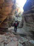
This morning we stopped for a quick run up one of Central Arizona’s classic climbs, The Razor’s Edge (II, 5.6R) on The Hand.  Tucked into the hillside above Lost Dutchman State Park on the edge of the Superstition Mountains (just east of Phoenix), The Hand is only about an hour from the parking lot.  We were intrigued by other spires and buttresses that dotted the hillside as we got closer, but we stuck to our plans for The Hand.

The Hand on the approach. The Razor’s Edge climbs the right skyline.

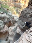
The route is climbed in two (or three) pitches, each of which have eye opening exposure and committing climbing.  Be warned that the protection is mostly inadequate (old bolts have not been replaced due to a bolting ban) and there was an exceptionally bad piton low on the route which made me laugh as I clipped it while looking at a 50′ or longer potential fall. Don’t blow it!

At the belay on Chicken Ledge. So narrow one has to straddle the crest!

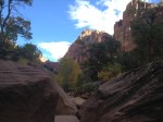
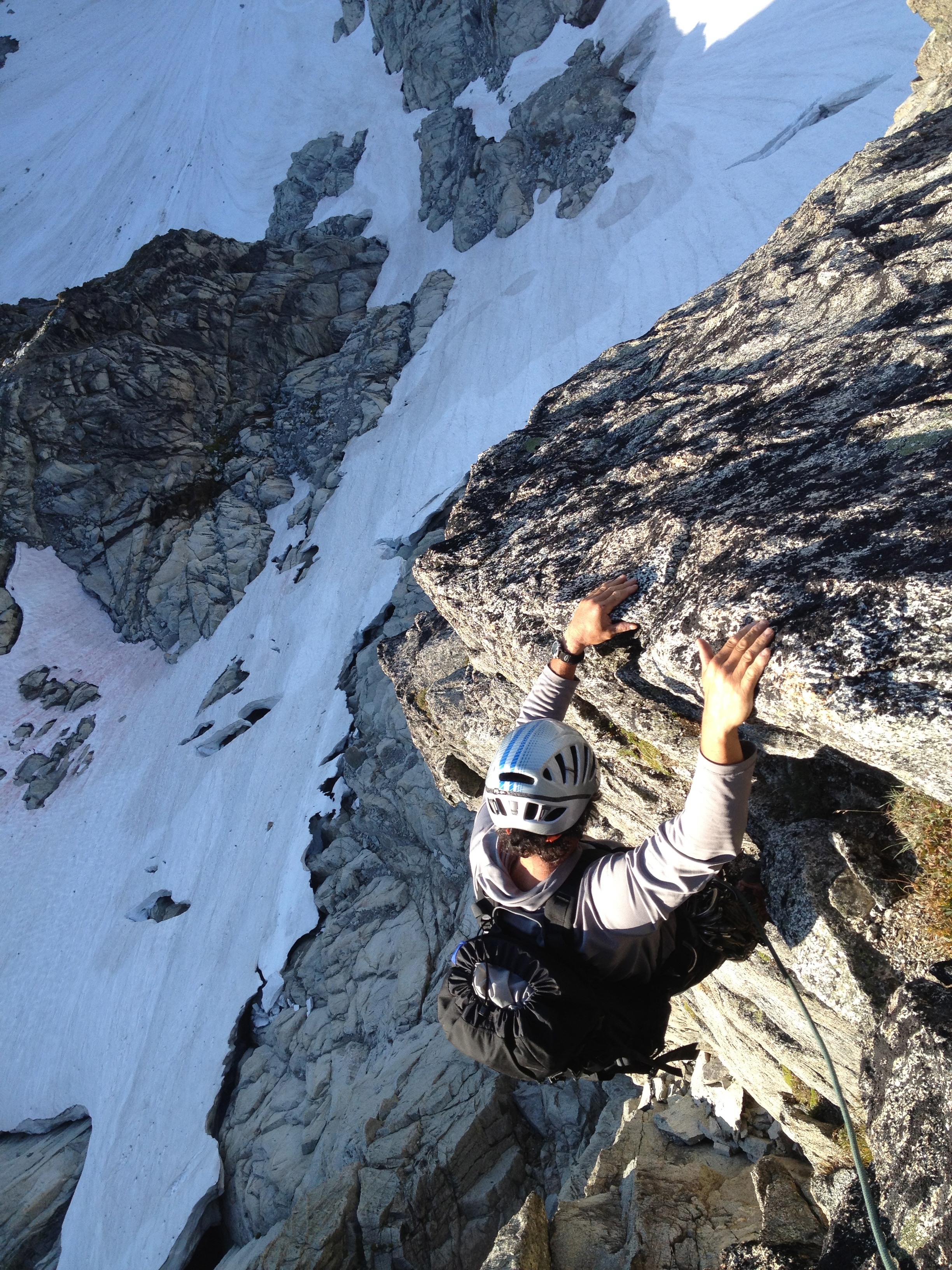
Nearing the summit of The Razor’s Edge

We took in the view for a few minutes from the summit before preparing to descend.  One double rope rappel took us back to our packs at the base and a sigh of relief.  What a climb!

Leave a comment

My wife and I have been on the road for a couple weeks now, puttering around the Southwest and avoiding the rain in the Pacific Northwest.  Last week we spent a couple days in Zion National Park, relaxing, hiking, and adventuring.  Not really feeling like going climbing, we opted to descend the Park’s classic technical canyon–Pine Creek.  After a hitchhike to shuttle the RV, we dropped into the top of Pine Creek just east of the tunnel.  A series of ten or so rappels interspersed with pools, slots, and sandy floors awaited us.  The water was a bit cold this late in the season, but one result was that we had the entire canyon to ourselves!  Undoubtedly, there is more canyoneering is in our future…

A couple photos:

Leave a comment

I had the chance to guide the remote and classic Southwest Buttress of Dorado Needle a couple weeks ago during the AMGA Alpine Guides Exam.  I’ll do a full blog post about the exam soon, but here’s a shot of Über-examiner Marc Chauvin cruising up the lower portion of the route!

Leave a comment

I just have time for a quick photo journey up the Fisher Chimney route on Mt. Shuksan that I did with Adrian and Juan a couple weeks ago.  The Fisher Chimneys is a beautiful line, with a very reasonable approach, that offers varied and interesting climbing throughout the year.  From a beautiful valley approach, to fun and easy climbing in the Chimneys, then a bit of steep ice, glacier walking, and a fine summit rock ridge, it’s the definition of a well-rounded alpine route.  On our trip, we found excellent conditions on the route itself, although we did spend a couple days near Lake Anne waiting for the rain to cease before we started up.  A highly recommended trip!

This slideshow requires JavaScript.

Below is basically a re-posting of a trip report I posted on the northwest climbing forum Cascadeclimbers.com.  I’ll add more details shortly.

—-

Given that the mid-winter’s high pressure had settled in and I heard that snow conditions in the Stuart Range were great, my friend Rodney and I climbed the elusive Cotter-Bebie route on the NW Face of Dragontail Peak on January 26 . I’ve been wanting to climb this route for many years, having peered down into it from Backbone and Serpentine a number of times. We found the route to be in fantastic shape overall, except for half of one pitch to the right of the Fin (requiring scary aid moves off ice tools). Gear was a challenge to find at times and we had to simulclimb on some serious terrain in order to find decent protection and anchors.

The route is excellent and I highly recommend it. We counted 20 roped pitches (though we simuled about 8 of them), and would rate the route (as we did it) in its current condition grade IV, WI4, 5.7, A2.  The route took us about 12 hours on the face, about three of which were spent on the aforementioned aid pitch and cornice chopping.

This slideshow requires JavaScript.

We were a bit confused as to where the route finishes. According to Beckey (CAG, v1, p 285), we followed the Northwest Face route. Washington Ice says to finish in the corner to the right of the Fin, but that wasn’t reasonable given the snow conditions. The gully we took proved to be the technical crux of the climb. I would consider finishing the route via the Third Couloir (by turning left at the Fin, and dropping onto the Gerber-Sink, then up into the Third Couloir) for a faster and more reasonable adventure.

Gear:  8 screws, set of stoppers, 2 bugaboos, .5-3″ camalots, 4″ hex, 10 slings. 2 tools. I would recommend two ropes in case of retreat, although we only took one.

Leave a comment